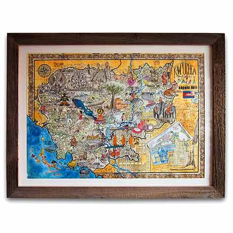
Cambodia map Original
10 000,00€
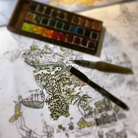
Original illustration of the map of Cambodia. Part of the proceeds will be donated to NGOs and humanitarian projects.
Mijello watercolour and Indian ink on 350 gsm watercolour paper. Size: 80 x 60 cm. Sold unframed.
Created between 2015 and 2016 in Phnom Penh, Cambodia.
Shipping with insurance and signature upon delivery only. Delivery time : 2 to 3 weeks.
Read the press article HERE
Reproduction available HERE
Only 1 left in stock
Related products
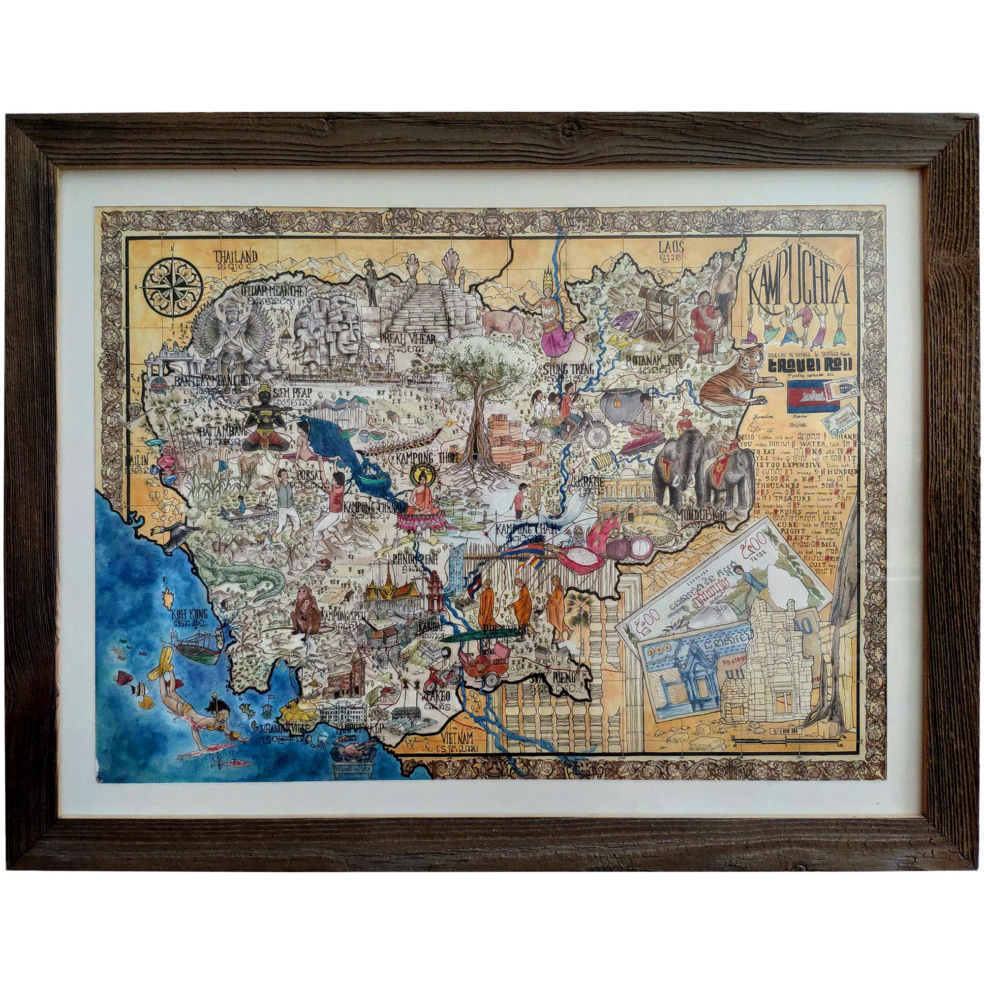
Illustration of Cambodia map
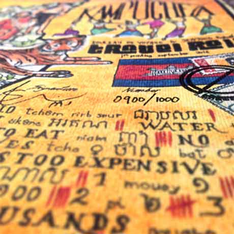
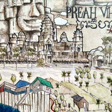
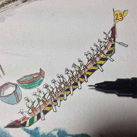
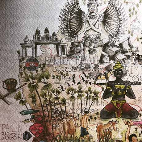
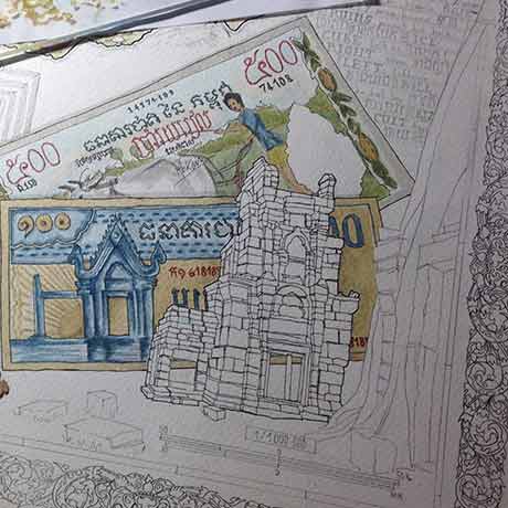
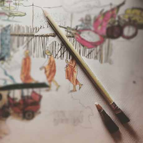
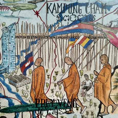
It is during the monsoon season of the year 2016 that the illustration of Cambodia in giant map was drawn. Several hours of meticulous work were necessary to compile a multitude of life atmospheres of the country. One evening, after a few Angkor beer I hid somewhere inside the drawing… in a very small place! Just look for a Westerner drawing in a roll, with a turban and red laces! If you look carefully, you’ll find 😉 Discover the wonders of Cambodia on this hand-made map. Several hours of meticulous work were required to compile a multitude of living environments specific to the country. Travel from the mountains of Ratanakiri to the Cardamoms range, cross over the Mekong and go through the floating villages of the Tonle Sap, take a rest on a Southern island, stroll around Battambang’s countryside, and don’t forget the mysterious ruins of Angkor temples… In a word, OPEN YOUR EYES! DISCLAIMER THIS MAP IS NOT FOR ORIENTATION BUT FOR DREAMING ONLY!